The Los Padres National Forest Traverse
Originally posted on January 18, 2017 at 10:10 amWords and photos by Jeffrey Stern.
The concept was simple really – traverse three mountain ranges, tip-toe around two wilderness areas all while crossing the entire southern portion of Los Padres National Forest, a nearly 2 million-acre section of seldom-visited forest in northern Santa Barbara county.
Logistics were the ultimate challenge in completing such an arduous 110-mile, 15,000-foot day in the saddle of my Niner hardtail. Where would we get water? Could we carry enough food? Was there enough light in the first week of January to finish?

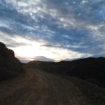
Starting at the crack of dawn, three brave souls loaded into Dylan’s Tacoma with backpacks, bikes and bottles packed to the brim and equipped with fully-charged lights to finish safely in the darkness of the winter night (there wasn’t quite enough light as we found out).
The destination was Sierra Madre Ridge Road, about 10 miles west of the tiny hamlet known as New Cuyama, only a two-hour drive from the lapping waves of the white sand of Leadbetter Beach, but light years away. A ghostly city flirting with a population of 500, New Cuyama exists in another world, far away from the sunny Southern California beaches.

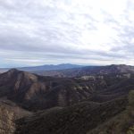
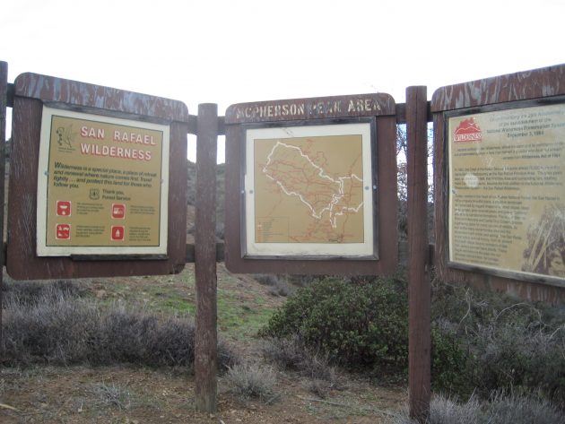
As we climbed from the frosty Cuyama Valley, named by the Chumash Indians for the freshwater clams that once proliferated in abundance in the local rivers, the sun rose to warm our extremities and to light the never-ending Dick Smith and San Rafael Wildernesses in the distances.
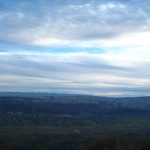
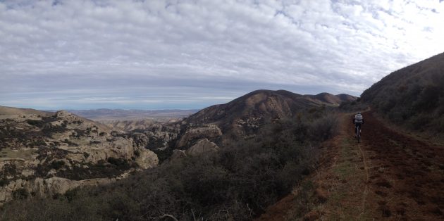
Located in the southernmost California Coast Ranges group, and also part of the Pacific Coast Ranges of western North America, passing over the Sierra Madre Range provides a surreal experience on the bike. The early morning light illuminated 4,000 foot peak after peak into distances beyond our vision: Porter, Plowshare, Miranda Pine, Timber and McPherson were just a few of remote mountain tops that surrounded us as we moved south towards Santa Barbara.
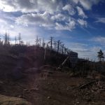
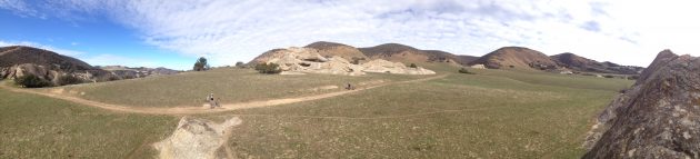
After what seemed like climbing forever while slowly working through our water bladders and home-made, loaded sweet potatoes, we dropped by ancient Chumash drawings at Painted Rock and crossed the vast Montgomery and Salisbury Potreros.
It’s here where we encountered the deadly cow mud – so sticky we swore it shared DNA with rubber cement. Mile 42 took us over one hour to complete and we spent the next hour clearing our bikes and shoes of mud before we finally decided it was time for a well-deserved lunch break.
As Matt, Dylan and I shared in the glory of defeating the mud and climbing around on the moon like rocks around us, we felt complete satisfaction in our current state of isolation.
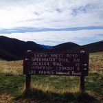
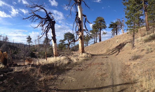
Lunch fueled the soft, silty climbs that followed up the spine of the the northern flanks of our second mountain range of the day, the San Rafael Mountains, part of the west-east Traverse Ranges System.

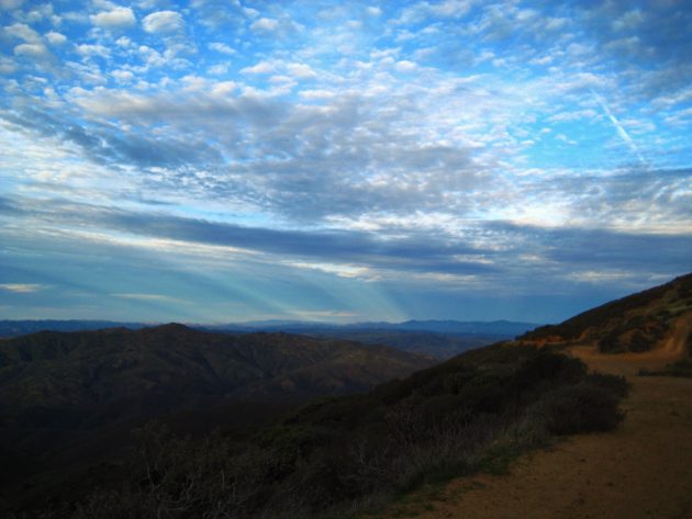
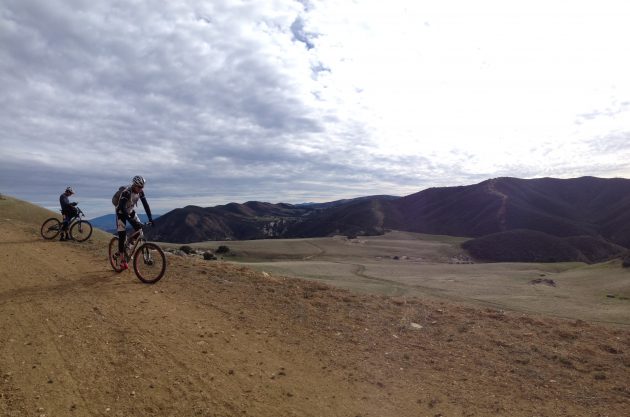
It’s here we turned onto Buckhorn fire road and towards the peak of our ride, 6,367 feet, and the ability to look over the Pacific Ocean and Channel Islands with the early winter sun setting on the horizon.

At mile 54 Chokecherry Spring provided us with our only water refill all day before reaching Big Pine. With 50 miles still to go and only three hours of daylight left, the inevitable occurred.
We crossed our final mountain range (the Santa Ynez) in the pitch black and rode the final stretch through town giddy, completely exhausted and beyond hungry. The last few hours had been a complete blur, but the daylight memories remained as real as the day it happened.
Dive into the stats of this epic one-day adventure on Relive.cc and Strava.
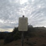
A few more images from the trip.